Castle Rock Lake Wisconsin
Welcome to Castle-Rock-Lake.com - This website is LOADED with useful information including maps, photos, videos, a fishing report forum and much more... Also known as Castle Rock Flowage, it is located in the heart of Central Wisconsin, with Lake Petenwell and Wisconsin River forming two borders between Adams County & Juneau County, just north of Wisconsin Dells. This website is broken up into several large sections which are listed below.
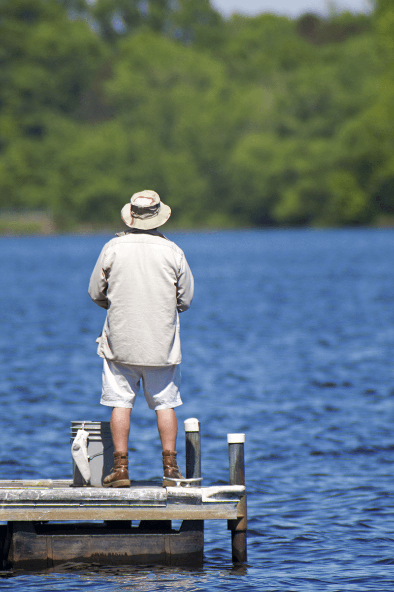
Castle Rock Flowage - Wisconsin River
Castle Rock Lake Real Estate
Includes lakefront homes, waterfront log homes, lake property, deeded access properties, log homes, condos, commercial businesses, dock space and more.
Rentals
Information for cabin rentals, motels, resorts, lodges, log cabin rentals, as well as boat rentals.
Lake Developments
A whole section dedicated for the waterfront developments on the lake. Find Maps, Aerial Photos, Plat Maps, Protective Covenants, descriptions and even some video tours. Plus, info on Developers subdividing the Castle Rock area.
Public Boat Launches
Fishing boat launches, canoe walk-in launches also the big speed boat launches at County Park and Buckhorn State Park.
Area Camping & Campgrounds
Camping locations, Campground amenities, Rates, Fees and seasonal openings including lakefront camping.
FEATURED Property
Public Land & Area Information
Looking for places to go or stuff to do around the flowage spend the morning hiking at Quincy Bluff Wetlands State Natrual Area then visit Roche-A-Cri State Park in the afternoon.
- Buckhorn State Park WI
- Yellow River Wildlife Area
- Quincy Bluff and Wildlife Area
- Castle Rock County Park - Adams
- Castle Rock County Park - Juneau
- AND MORE...
Flowage Quick Specs :
Size 13,955 acres
Dam Castle Rock Dam
Max Depth 36 feet deep
Average Depth Not Determined but the old river bed is about 36 feet deep, in several places with 17% of the lake over 20 feet and 15% of the lake under 3 feet leaving 68% of the lake being 3 to 20 feet deep.
Bottom of Petenwell. Mostly Sand & Rock
Also Checkout - Lake Petenwell | Castle Rock Lake | Fish Directory | Bars for Sale | Restaurants for Sale
